History and geography of Gran Canaria
If you are curious and like to learn, in this article we bring you very useful information about the history and geography of Gran Canaria. Gran Canaria is an island that is part of the Canary Islands Archipelago, and belongs to the province of Las Palmas.
It is located between the islands of Tenerife and Fuerteventura, in the Atlantic Ocean off the African coast. It has an area of 1,531 km and has a population of more than 870,000 inhabitants.
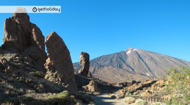
It is of volcanic origin, with an almost circular shape, whose center is a mountainous massif crowned by the Pico de Las Nieves. At 1,949m, it is the highest point on the island. This circular shape is distorted by a small 12 km peninsula located to the northeast of the island joined by a sandy isthmus: La Isleta.
History of Gran Canaria
The first settlers on the island of Gran Canaria were the Canaries, organized into independent tribes until the 14th century. In 1483 the island became dependent on the Crown of Castile, after an offensive led by Pedro de Vera. It was attacked several times by pirates, achieved great notoriety from the eighteenth century, thanks to its role in American trade.
The first settlers of Gran Canaria knew about irrigation, they used bone, wood, ceramics and stone to make utensils. They lived in caves near crops. There are artistic manifestations such as the Galdar cave and some geometric engravings, as well as painted and engraved ceramics.
Religion with the God Acorán was very important, and a belief in life after death reflected in the mummification of the nobles. They lived in tribes that had, in the case of this island, two chiefs. There was a nobility that advised the Guananterme and a priest named Faicán who was a relative of the chief. There was matriarchal power according to which a nobleman could lose such status if he disrespected a woman. The villains received in Gran Canaria the name of “sheared”
Climate of Gran Canaria
Gran Canaria is characterized by the strong climatological contrast between the different slopes of the island. In February, temperatures in the capital are 17° and the month of
August “the hottest” 23°. The rainiest months are November, December and January, with an average of 200l/m. Rainfall varies depending on altitude and position. The average annual temperature is 20°C, although with a considerable thermal amplitude of 40°C of absolute maximum it passes to 5°C of absolute minimum.
To the northwest of the island, the influence of the trade winds creates a less hot climate, more cloudiness and rain. This sector is relatively humid with 400-800 mm per year on the coast. The trade winds have a cold and a warm layer, so when the sea of clouds forms as it ascends, it is slowed down by the warm layer, forming horizontal rain.
The southern area from the Gando airport to the Barranco de Veneguera is more sunny and arid, with little rainfall. Rainfall increases in the highest areas (central summit and Tamadaba massif). To the north, the sea of clouds causes temperatures to drop.
Relief of Gran Canaria
The island was formed from the accumulation of fissure basalts that form a volcanic shield from the center to the periphery. This volcanic character explains the presence of more than 150 volcanic cones, in addition to a series of calderas such as Morteles and Bandama.
The configuration of the relief is given by the combination of eruptive periods and erosive periods. The wind drags the particles and deposits the dragged sand forming living dunes and fossilized dunes (lava-covered dunes). Rainwater causes landslides, as is the case in Tiajana.
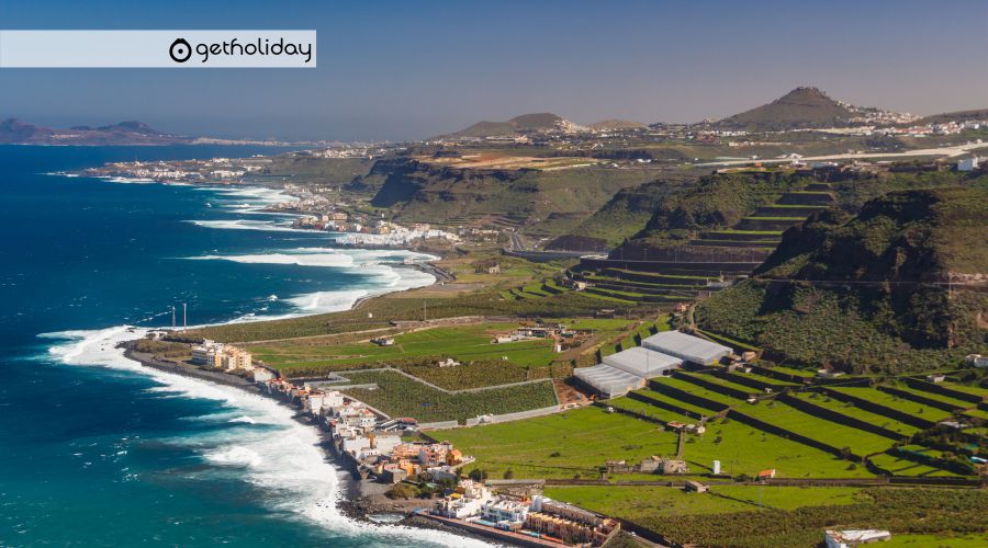
The southern area is made up of plains, sandy coastlines that form the dune landscape of Maspalomas. It is the southernmost point of the island, and is made up of wide beaches such as: Maspalomas, El Inglés, San Agustín, Arinaga, Carrizal or Juan Grande.
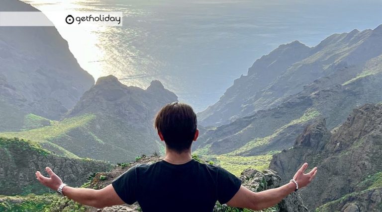
The northern area is steep, with cliffs such as Farroque and Andén Verde, which reaches about 1,000 meters in height. The northwestern part of the island is called the New Island, and the southwestern part is the Old Island.
The ravines of the northwest zone are those of Guía, Moya, Azueje, Tenoya and Giniguada directed towards the north, while towards the east those of Telde, Tirajana and Guayadeque. On the old island, the ravines of Agaete, Tejeda and Aldea. In this area is the Tamadaba massif with steep cliffs. This massif located in the old area, was formed by an eruption during the oldest time.
In general, Gran Canaria combines landscapes of beaches and dunes, with an agricultural landscape further inland and with the northern area with higher and rockier coasts.
Fauna of Gran Canaria
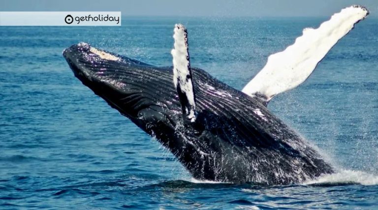
The marine fauna is represented in the reefs formed in the bay of Confital and the important barley field of Las Canteras. On the coast of Arinaga there are various species such as rosemary, old, catalufas, alfonsiños or the garden eel; inhabitant of the extensive sandbank.
In the wooded formations of the pine forest an endemic species of the islands; The pine lizard lives together with various species of birds, including the Gran Canaria blue chaffinch, the woodpecker, the sparrowhawk, the Cory’s shearwater, or the kestrel. The island has various species of reptiles; the canaryon lizard, the smooth ones, the Atlantic lizards, the Boettger perenquén.
Gran Canaria has a very limited mammalian fauna; only the light-edged bat, the mountain bat, and an endemic small mammal, the Osorio shrew, are present.
Flora of Gran Canaria
Main plant forms of the island ordered from coast to summit:
- Coastal rock halophilic belt.
- sweet Tabaibal; in the north at 200m altitude, in the south at 400m.
- Cardonal: 400m in the north 800m in the south.
- thermophilic forest
- Monteverde composed of laurel forest fayal – heather
- Pinewood
- In the low and sandy areas and in quiet areas the tamarisk trees grow.
- In the beds of the ravines the sauzales
- In the middle area there are palm groves
- In the southwestern half there are low-lying coastal pine forests
Gran Canaria has 104 endemisms such as: Cabezón, cerraja de risco, tajinaste blanco, jarrilla, flor de piedra, retamón and tomillón, are some examples of these unique species of the island. This island brings together aspects of the eastern and western vegetation of the islands, a wide diversity of bioclimatic floors and a diversity of plant communities.